Route highlights
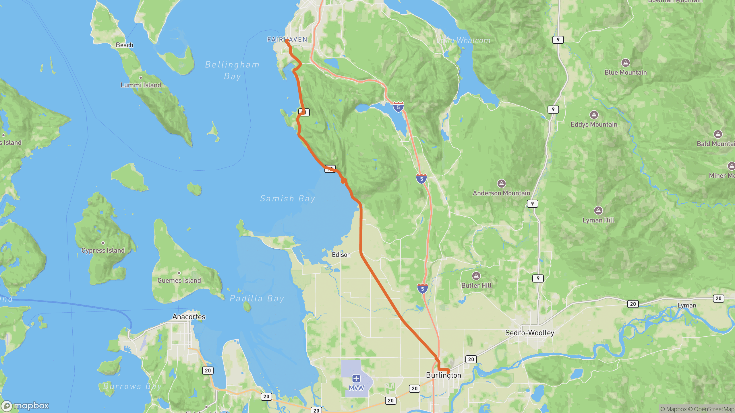
The drive breaks into 3 distinct sections.
1
Fairhaven start
South out of Bellingham's historic district into the trees.
2
Cliff section
The signature stretch — corners cut into sandstone above the bay, water views between the firs.
3
Samish flats
The road drops to sea level and straightens across farm flats toward Burlington.
AD
ad slot (responsive banner)
Before you go
Best time
Late afternoon — the bay faces west, and sunset over the San Juans is the payoff.
Watch for
Slow posted sections and popular pullouts; cyclists year-round.
Worth a stop
Larrabee State Park, Clayton Beach, and the oyster bars partway along.
Fuel & food
Bookend services in Bellingham and Burlington; restaurants on-route.
Drive it with REVV
Turn-by-turn route guidance built for scenic drives — launching soon on iPhone.
Join the waitlist
AD
ad slot (responsive banner)