Route highlights
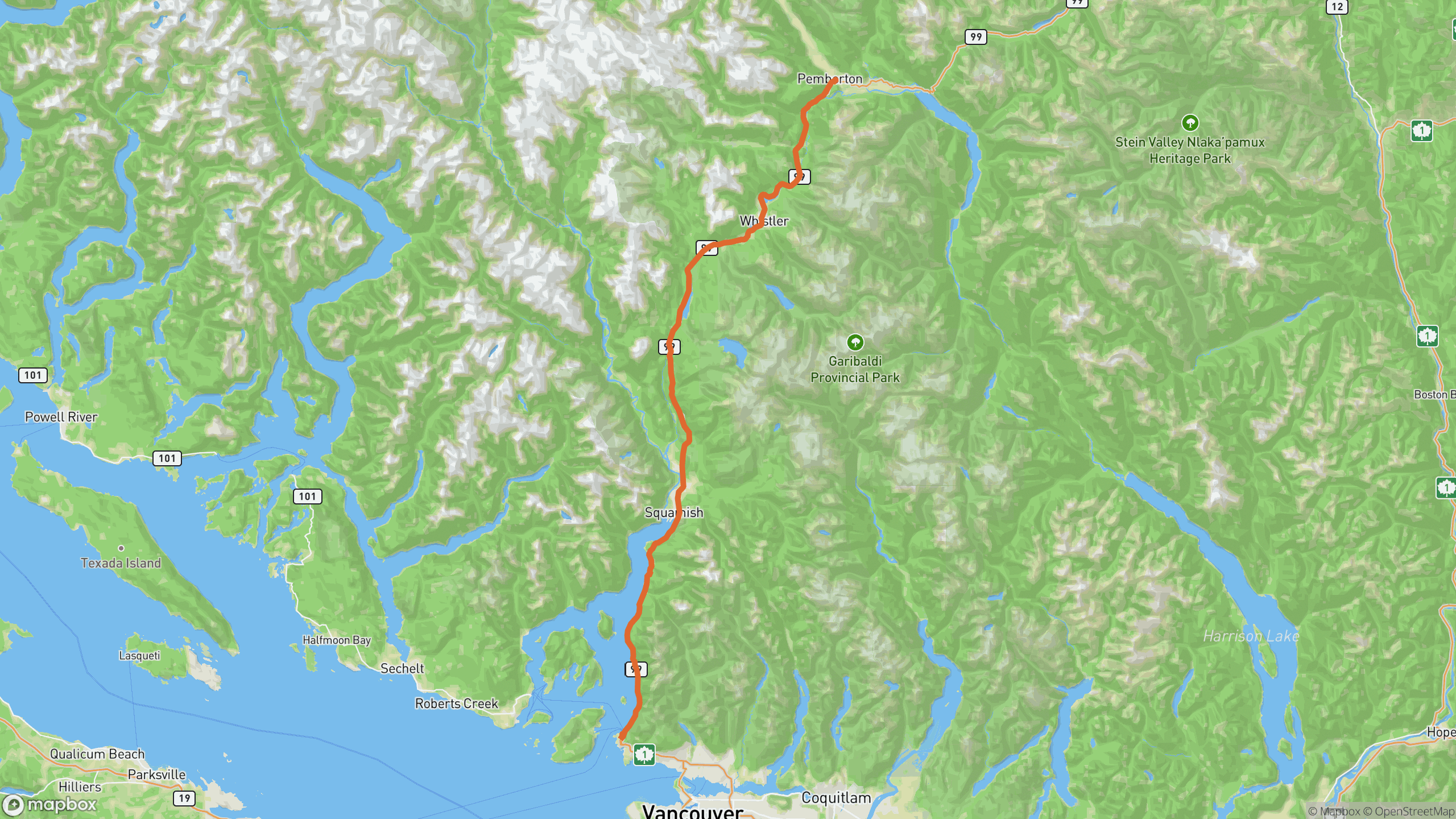
The drive breaks into 3 distinct sections.
Horseshoe Bay to Squamish
Cliffside sweepers above Howe Sound, with the water rarely out of sight. Porteau Cove is the classic first stop.
Squamish to Whistler
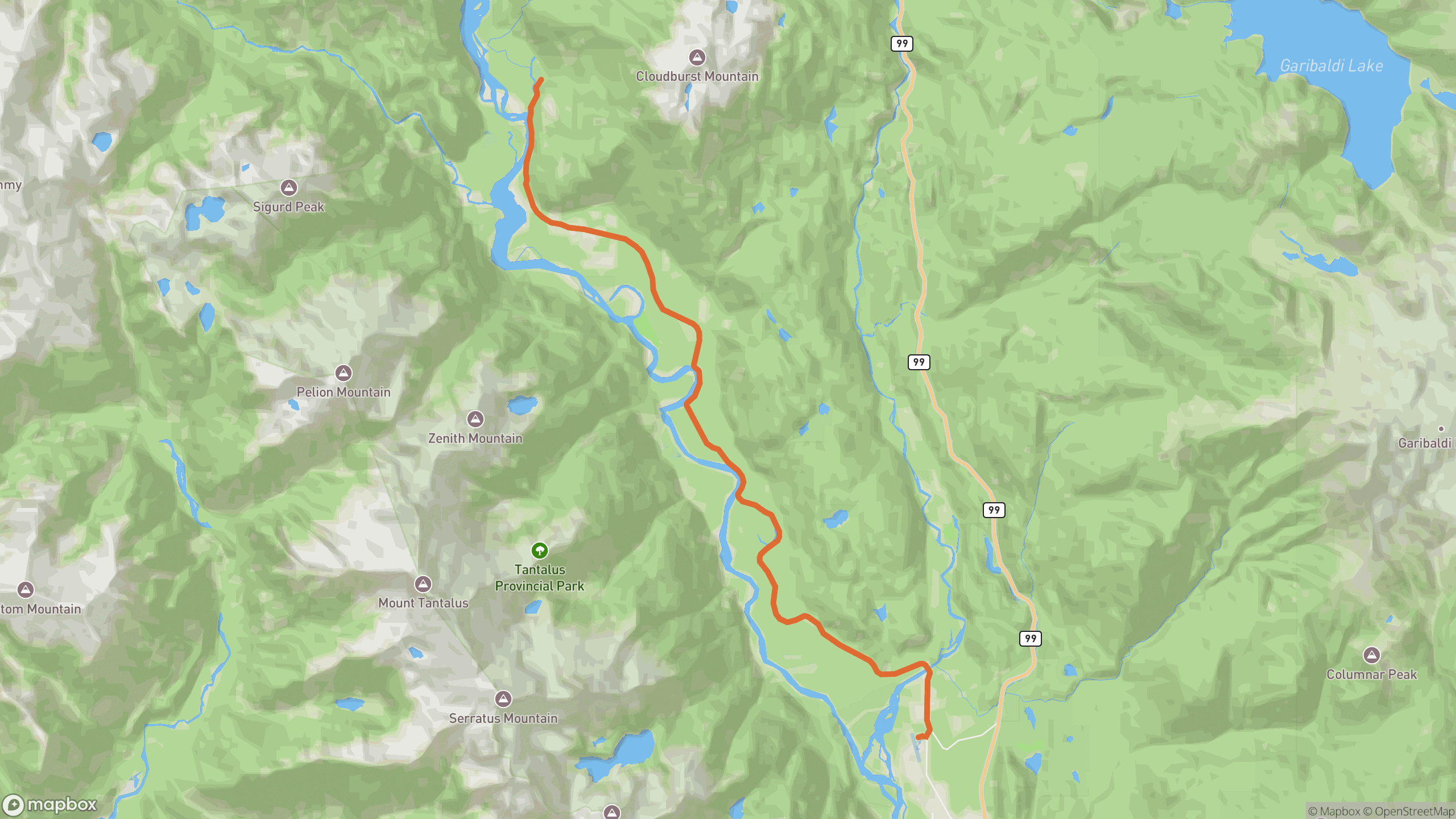
The road climbs inland past the Stawamus Chief and Tantalus Range viewpoints. Wide, well-surfaced corners with long sightlines.
Whistler to Pemberton
Quieter forest section — rhythmic bends down to the Pemberton valley floor with Mount Currie ahead.
Before you go
Best time
Weekday mornings, May–September. Summer weekends load the highway with Vancouver traffic.
Watch for
Winter tire rules apply October–April. Frequent speed enforcement around Squamish and Whistler.
Worth a stop
Porteau Cove, Sea to Sky Gondola, Tantalus Lookout, and Nairn Falls near Pemberton.
Fuel & food
Full services in Squamish, Whistler and Pemberton — no long empty stretches.
Drive it with REVV
Turn-by-turn route guidance built for scenic drives — launching soon on iPhone.
Join the waitlist