Route highlights
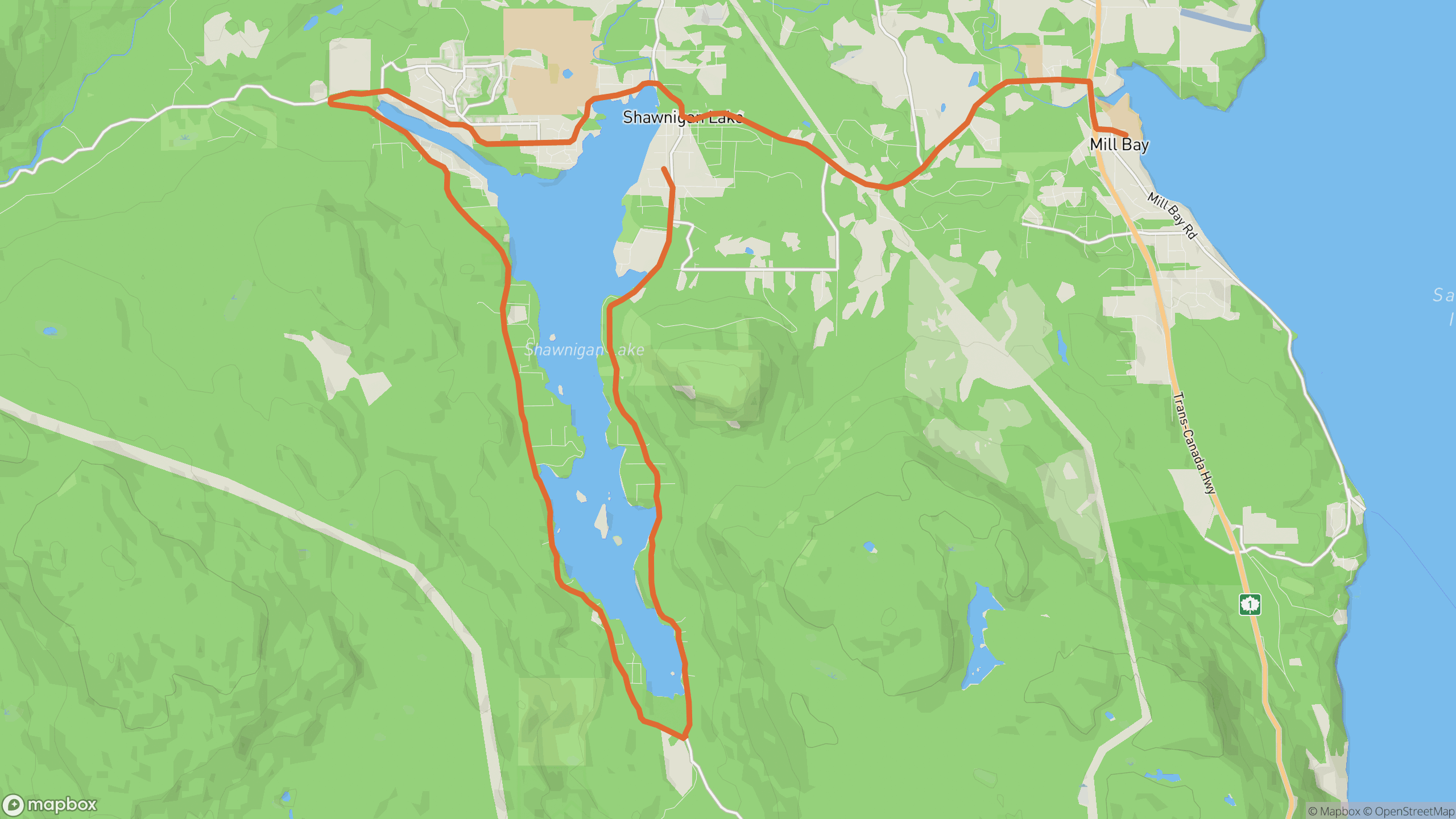
The drive breaks into 3 distinct sections.
1
East shore
Tight, tree-lined corners hugging the lake — the highest measured winding density on this list.
2
Village and west side
Through Shawnigan Lake village, then quieter bends along the far shore.
3
Return legs
Short connector roads close the loop through rural acreage.
AD
ad slot (responsive banner)
Before you go
Best time
Off-peak hours — it's a residential lake, so keep it gentle and courteous.
Watch for
Driveways, pedestrians and swimmers in summer. Narrow lane with no shoulder in places.
Worth a stop
Old Baldy trailhead views; Merridale cidery is a short hop east.
Fuel & food
Cafés in the village; fuel at Mill Bay nearby.
Drive it with REVV
Turn-by-turn route guidance built for scenic drives — launching soon on iPhone.
Join the waitlist
AD
ad slot (responsive banner)