Route highlights
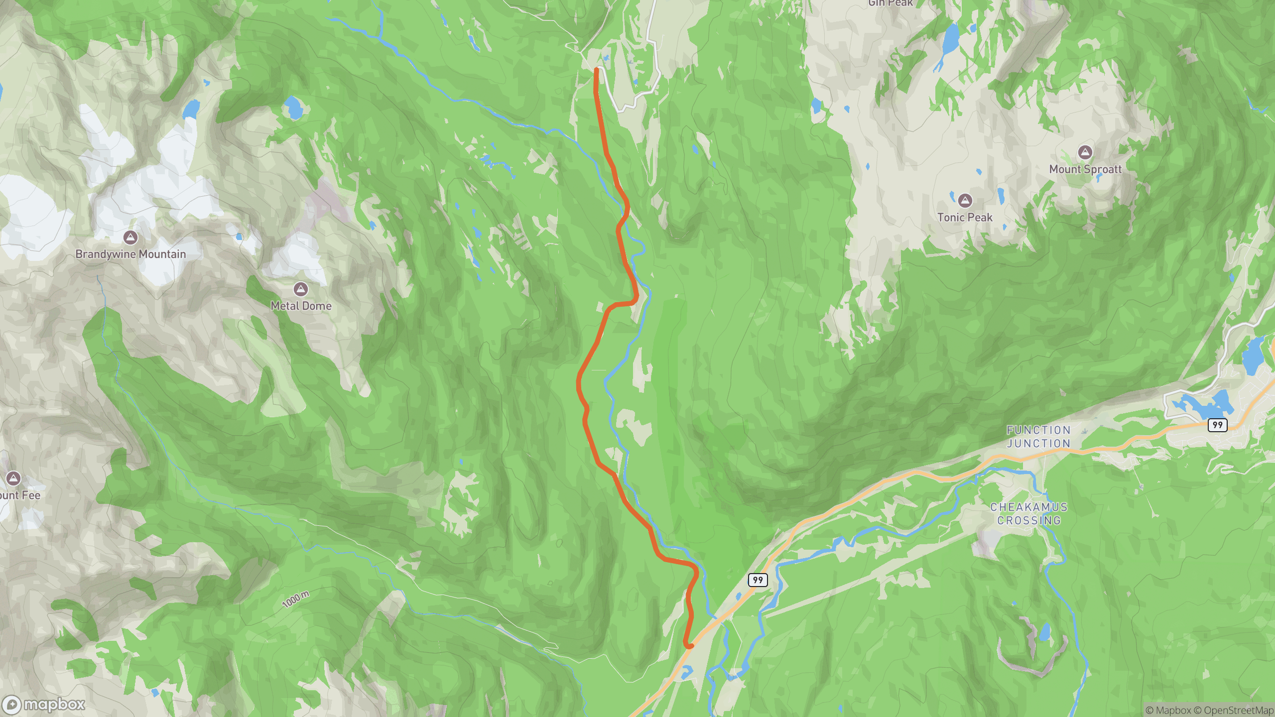
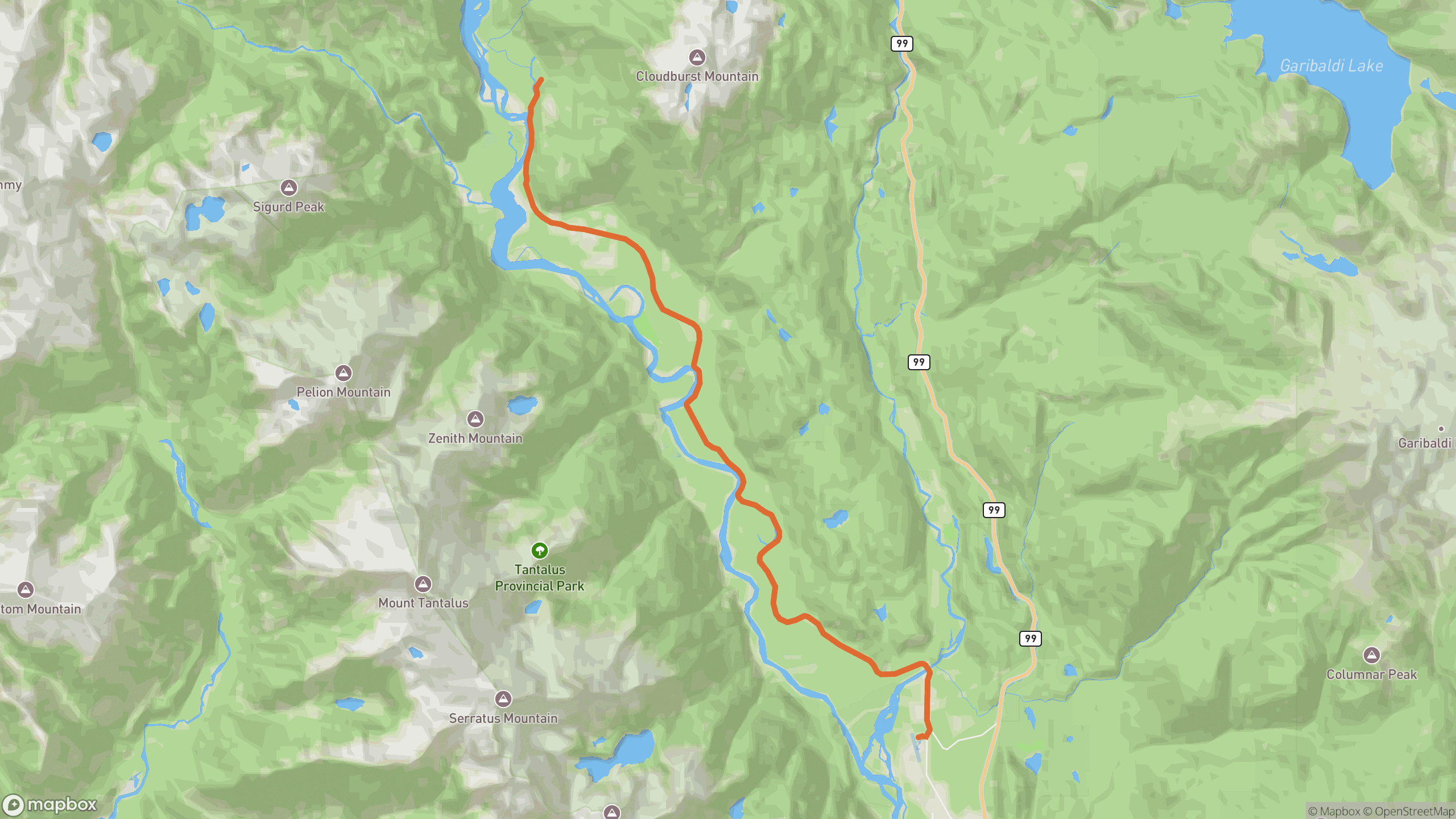
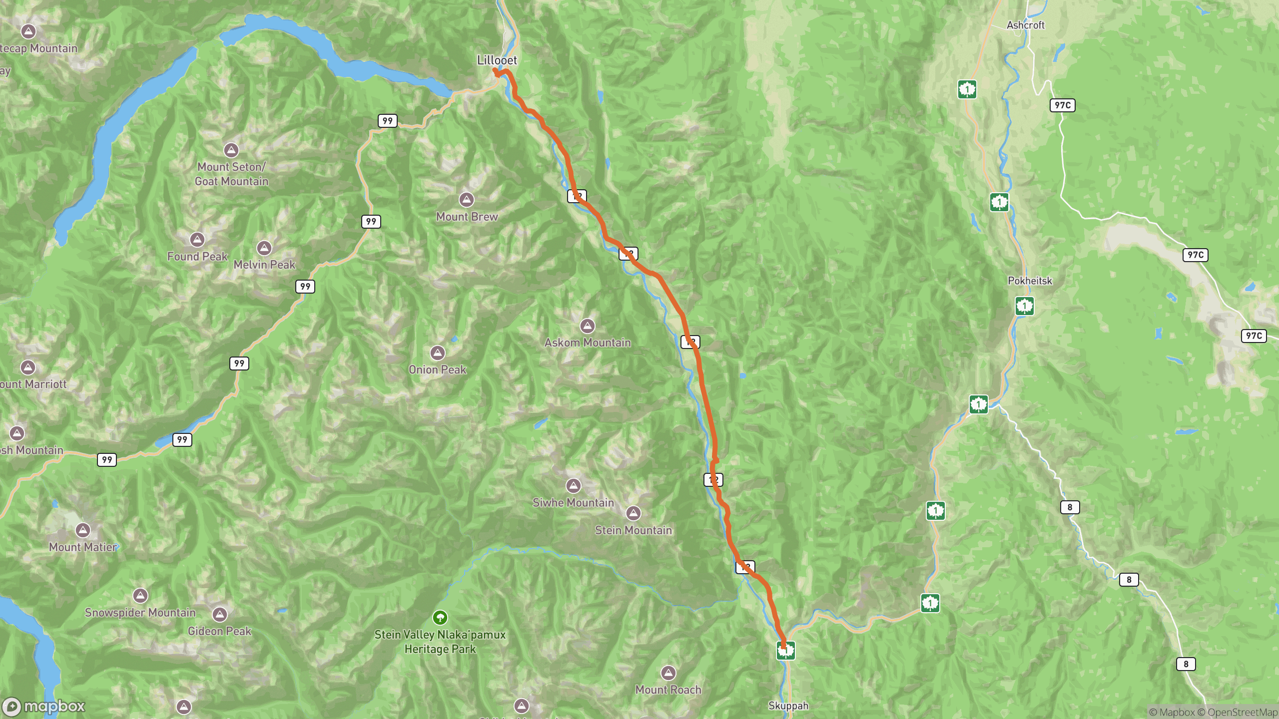
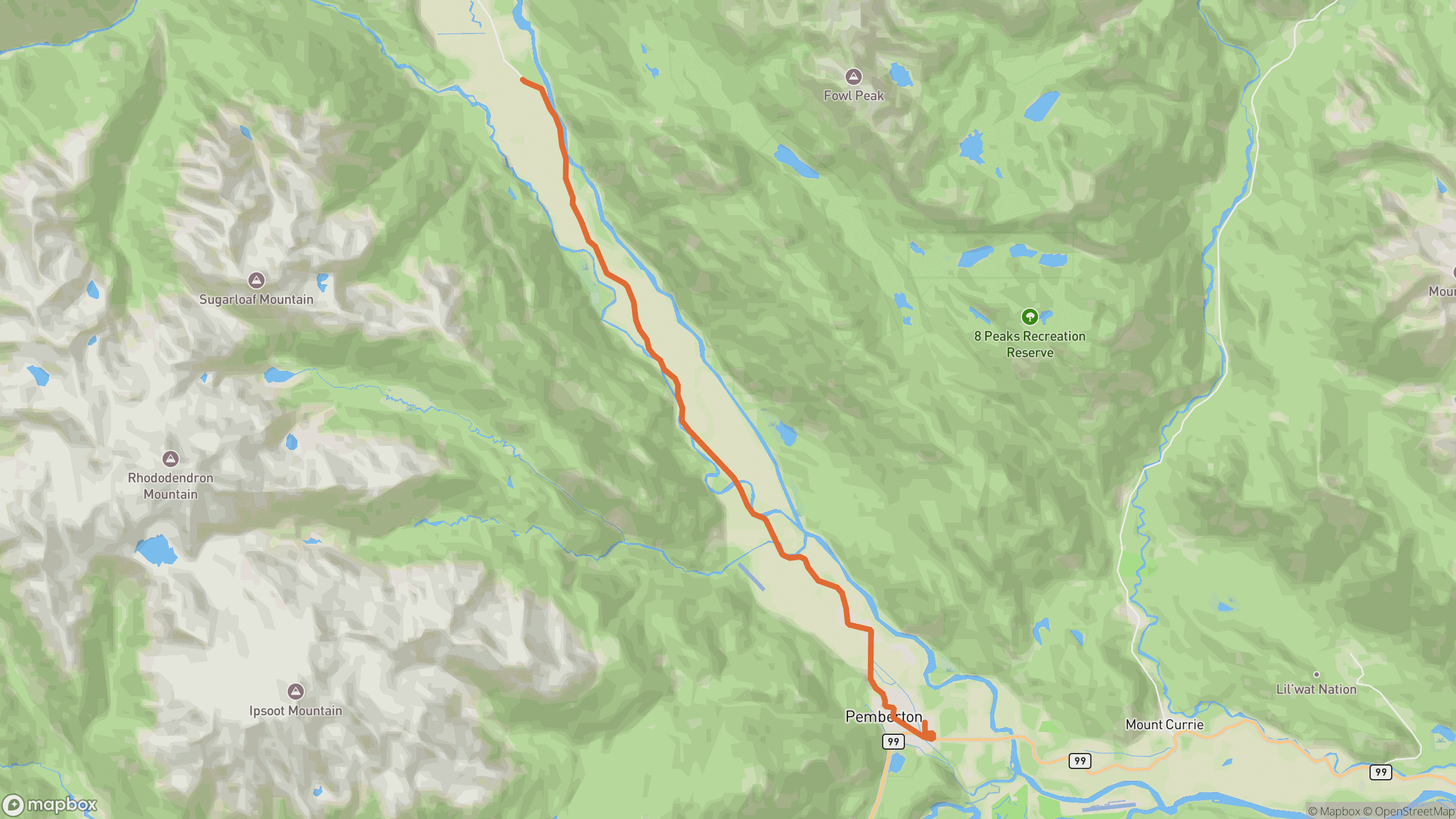
The drive breaks into 3 distinct sections.
1
Pemberton town
Out through the town grid and onto the valley floor.
2
Meadows straightaways and kinks
Farm fields, split-rail fences and quick left-right transitions with Mount Currie towering behind.
3
Upper valley
The road narrows and quiets; turn around where the pavement ends.
AD
ad slot (responsive banner)
Before you go
Best time
Golden hour — the valley light on Mount Currie is the whole point.
Watch for
Farm machinery, horses, and gravel spilled at field entrances.
Worth a stop
North Arm Farm and roadside produce stands in season.
Fuel & food
Everything is back in Pemberton — this is an out-and-back.
Drive it with REVV
Turn-by-turn route guidance built for scenic drives — launching soon on iPhone.
Join the waitlist
AD
ad slot (responsive banner)