Route highlights
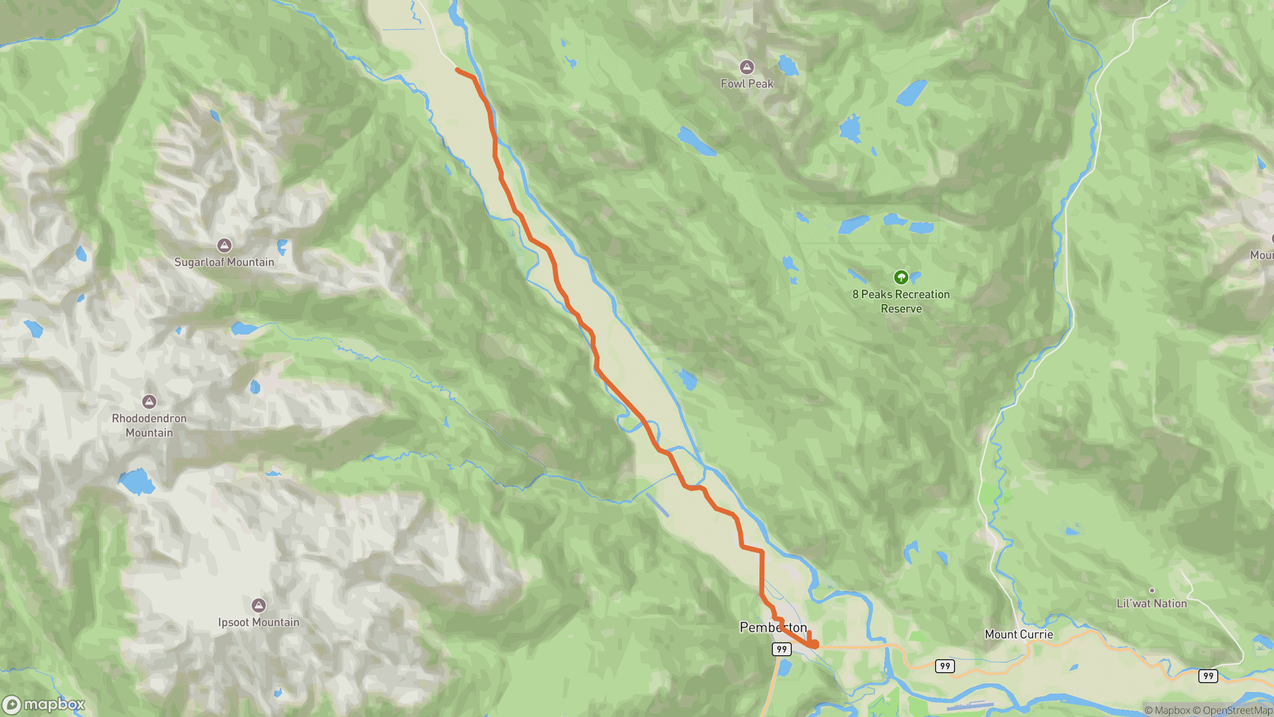
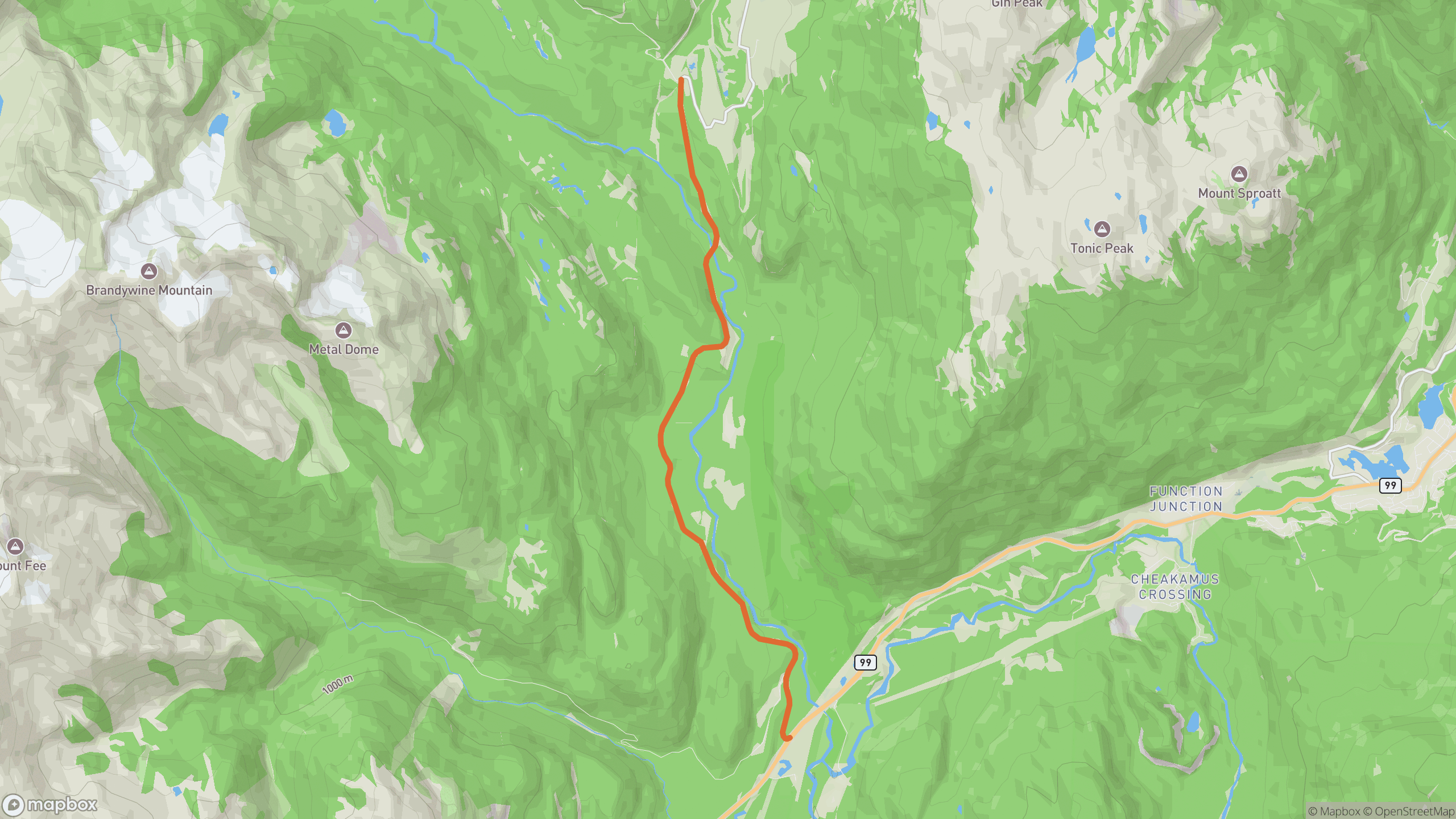
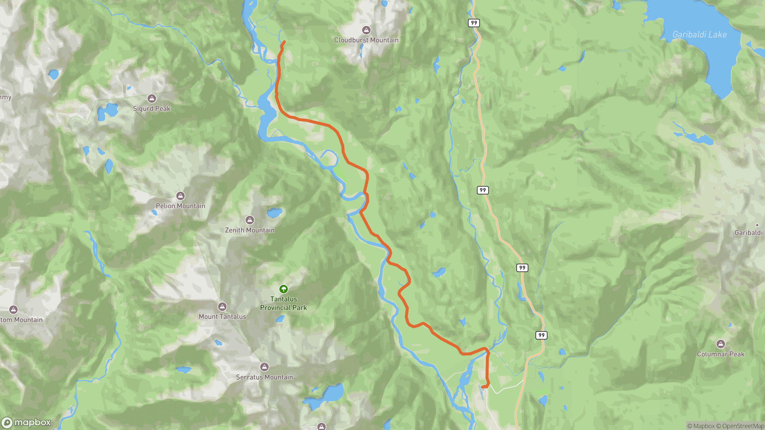
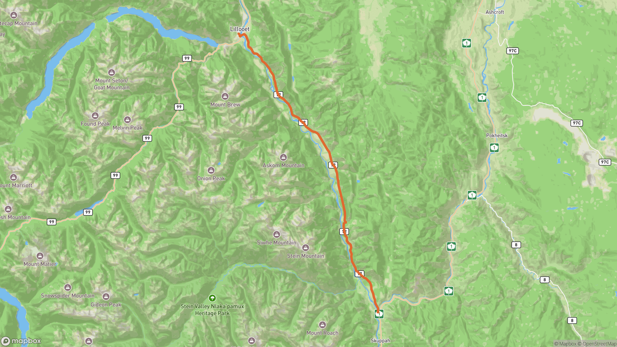
The drive breaks into 3 distinct sections.
1
Lytton climb
The road lifts quickly out of town onto benches high above the river confluence.
2
Canyon benches
The heart of the route — corner after corner traced along sagebrush slopes, the Fraser far below.
3
Descent to Lillooet
Open, fast-flowing sweepers drop you into Lillooet's dramatic river-bar setting.
AD
ad slot (responsive banner)
Before you go
Best time
Spring and fall. This is one of Canada's hottest corridors in mid-summer.
Watch for
Rockfall debris after wind or rain, and very little traffic — self-sufficiency matters here.
Worth a stop
Pullouts above the Fraser for the canyon panorama; Fort Berens area viewpoints near Lillooet.
Fuel & food
Fuel in Lytton and Lillooet only — nothing in between.
Drive it with REVV
Turn-by-turn route guidance built for scenic drives — launching soon on iPhone.
Join the waitlist
AD
ad slot (responsive banner)